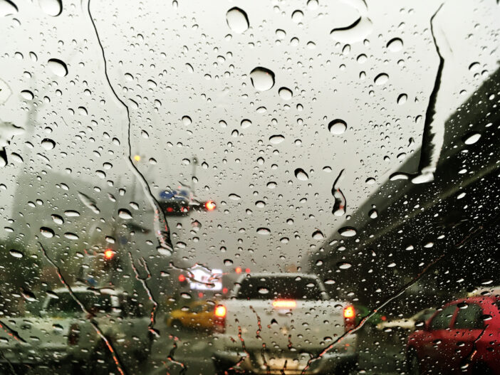
As the remnants from Tropical Storm Hilary wandered north out of Southern California, downgraded to a post tropical storm, it left behind a very wet and spotted trail of effects.
And the climate-change fueled possibility, albeit rare, of a blueprint for future storms to follow.
The extremely rare-for-summer storm was a Category 4 Hurricane when it blasted into Baja, Mexico, but downgraded to Tropical Storm status by the time it crossed into California.
Hilary brought heavy rains but not much wind into Orange County and coastal areas.
Despite scattered mudslides and debris flows, several collapsed and flooded roads, and falling trees, no deaths were recorded in the state. Damage to residences and critical infrastructure was “very minimal” Brian Ferguson, deputy director of the California Governor’s Office of Emergency Services, told CBS News.
In the midst of the rain, a 5.1 magnitude earthquake struck near Ojai, northwest of Los Angeles, according to the U.S. Geological Survey.
Despite the rareness of the storm and the coincidental “hurriquake,” which, by the way isn’t a thing, the weekend’s events underscore the importance of having ReadyOC, Orange County’s preparedness ReadyOC.com has a special page on flooding, and another on earthquakes, to educate the public on the dangers. In addition, the Ready to React page is filled with disaster preparedness information.
ReadyOC posted several Instagram posts over the weekend to help the public prepare, this included two posts on dealing with flashfloods and driving.
Despite the soaking, Orange County was mostly spared, with rainfall topping out at 3.07 inches in Coto de Caza, with most areas recording between 1.5 and 2.5 inches. The Santa Ana Mountains and canyons averaged between 3 and 4 inches, according to the National Weather Service.
All state beaches in Orange County, including Huntington Beach, Bolsa Chica, Crystal Cove State Park, Doheny, and San Clemente state beaches, were closed at least through Monday.
Damage was much more pronounced inland and, in the mountains, where Mt. Jacinto in Riverside County and Raywood Flats in the San Bernardino Mountains both recorded more than 11 inches of rain, according to the National Weather Service.
Palm Springs, which averages less than 5 inches of rain a year, was socked with more than 3 inches, making it the wettest August day for the area.
Throughout Southern California rainfall records were shattered on Sunday thanks to the almost daylong downpours.
“We basically blew all of our previous rainfall records out of the water,” National Weather Service meteorologist Elizabeth Adams in San Diego told The Associated Press.
Across Southern California, tens of thousands of people across Southern California lost power during the storm and Palm Springs lost 911 service Sunday night.
On the brighter side, the weather downgraded the WIldland Fire Danger in Orange County to low to moderate, according to the Orange County Fire Authority.
A rare event, for now
Southern California was last brushed by a Hilary-esque storm in 1997 when Hurricane Nora hit eastern California and Arizona as a tropical storm. However, this is the first time Orange County and the coast have been hit head on in more than 80 years: the 1939 Long Beach Tropical Storm, which made landfall in San Pedro,
According to the AP, that storm roared into California, “ripping apart train tracks, tearing houses from their foundations and capsizing many boats. Nearly 100 people were killed on land and at sea.”
Like this year’s storm, the 1939 storm occurred during an El Niño phase, when warm water in the Pacific is pushed east toward the west coast of the Americas. The pattern has been known to cause severe weather.
This year the National Weather service has predicted a greater than 95 percent chance El Nino will last through December, increasing the chance for a wet winter.
It takes an odd confluence of events for a hurricane to wander into California. According to Daniel Swain, a climate scientist at UCLA, on his discussion forum, historically California has been shielded by inhospitable atmospheric conditions for hurricanes and prevailing easterly winds. However, rising ocean temperatures could mean the hurricanes that do reach the California coast may be stronger and more damaging.
The cold Pacific waters have also protected California. And while they aren’t warming as quickly as they are in some other parts of the globe, the ongoing changes are causing a growing concern along the West Coast. They are expected to worsen as the world continues to warm, according to Politico’s ClimateWire.
According to the website, “While it’s “plausible” that climate change could increase the odds of landfalling tropical cyclones in California, that would likely come at a ‘modest but probably not very large degree,’ Swain noted in a recent blog post about Hilary.”
However, as little scientific study has been done on whether the long-term warming of the ocean and climate change could change the hurricane pattern along the Western U.S., for now, there isn’t a strong scientific consensus about how Pacific hurricanes will change in the decades to come.
Then again, extreme weather has been a hallmark of climate change and as science reporter Justine Calma wrote in The Verge, “experts say it could have more curveballs in store that the state should be preparing for.”
 Behind the Badge


